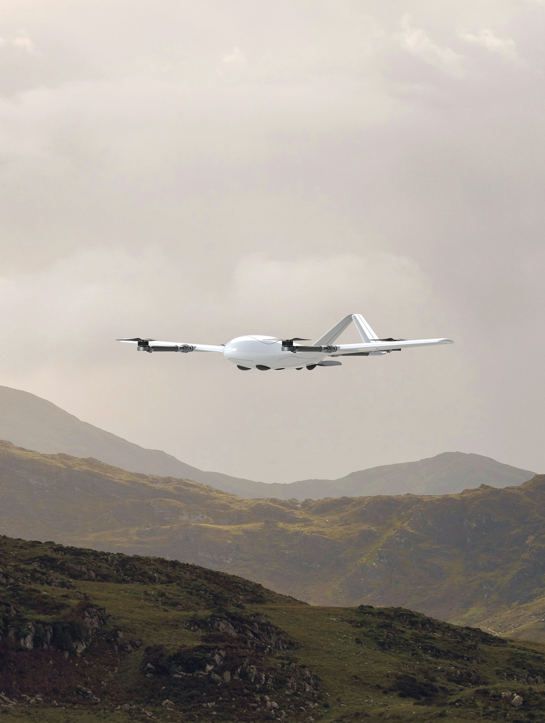

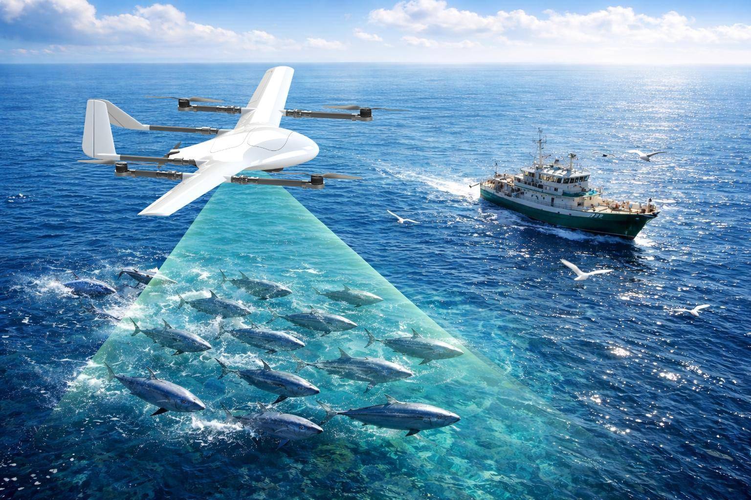
A New Tool for Smart Fishing
The modern fishing industry is rapidly adopting advanced technologies such as drones, artificial intelligence,...
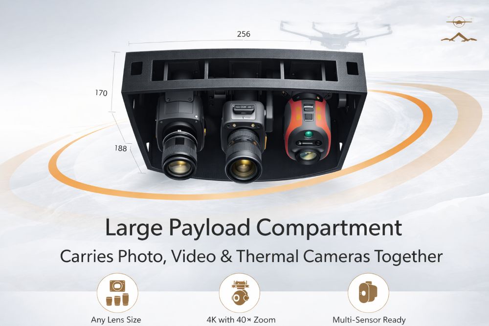
Why Multi-Sensor UAVs Are the Future of Professional Drone Operations
Traditional drone systems often limit operators to one sensor...