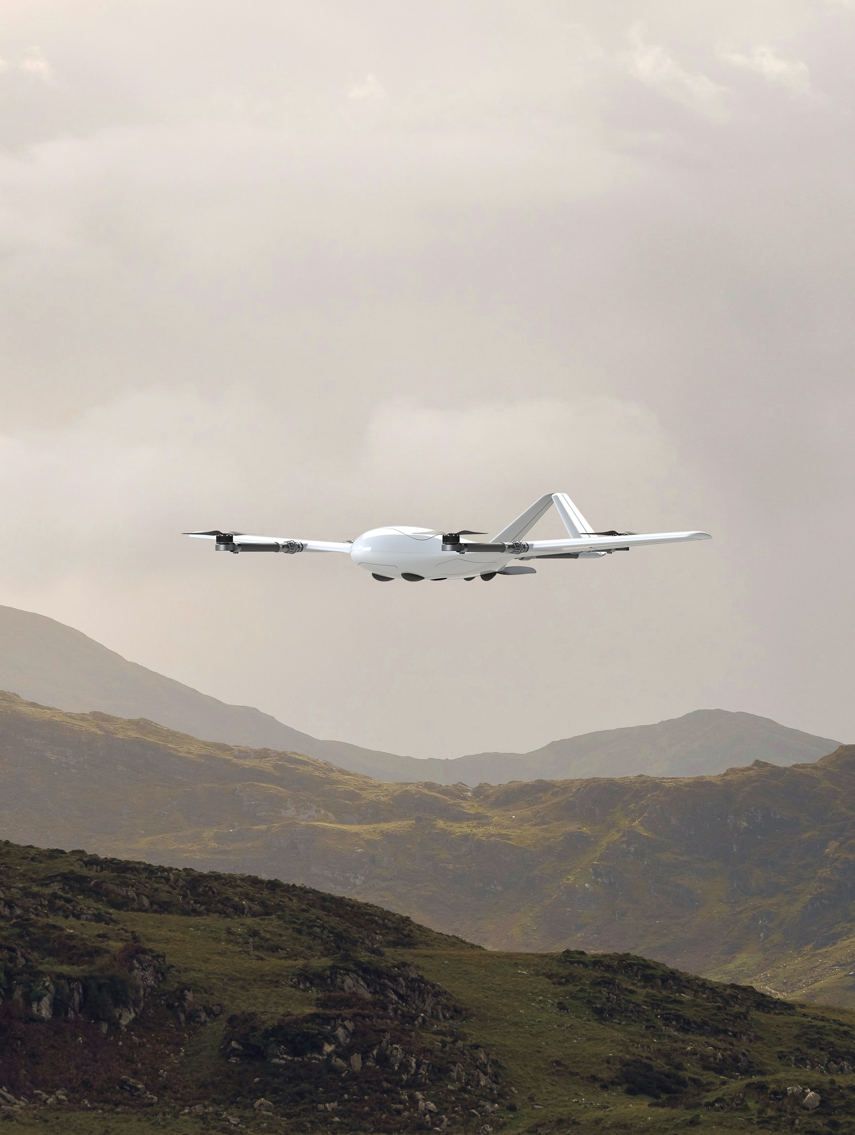
professional UAV’s

Aerial intelligence

UAV inspiring sky

Explore our solutions

Empowering informed decision-making across diverse industries through data-driven insights.

GEOHAWK

The drone can perform a wide range of tasks. Its characteristics, including range, flight altitude, and autonomy, make it useful for mapping, aerial surveillance and transporting various types of cargo.

  • Flight distance up to 195 km
  • 2-axis stabilized gimbal
  • Flight time up to 150 minutes
  • Night vision (optional)
  • Flies in rain or snow
  • Payload Interchangeability

Most current articles

Learn how the GEOHAWK is being used by companies.

GeoHawk Tuna Monitoring
GeoHawk eVTOL with AI Fish Detection
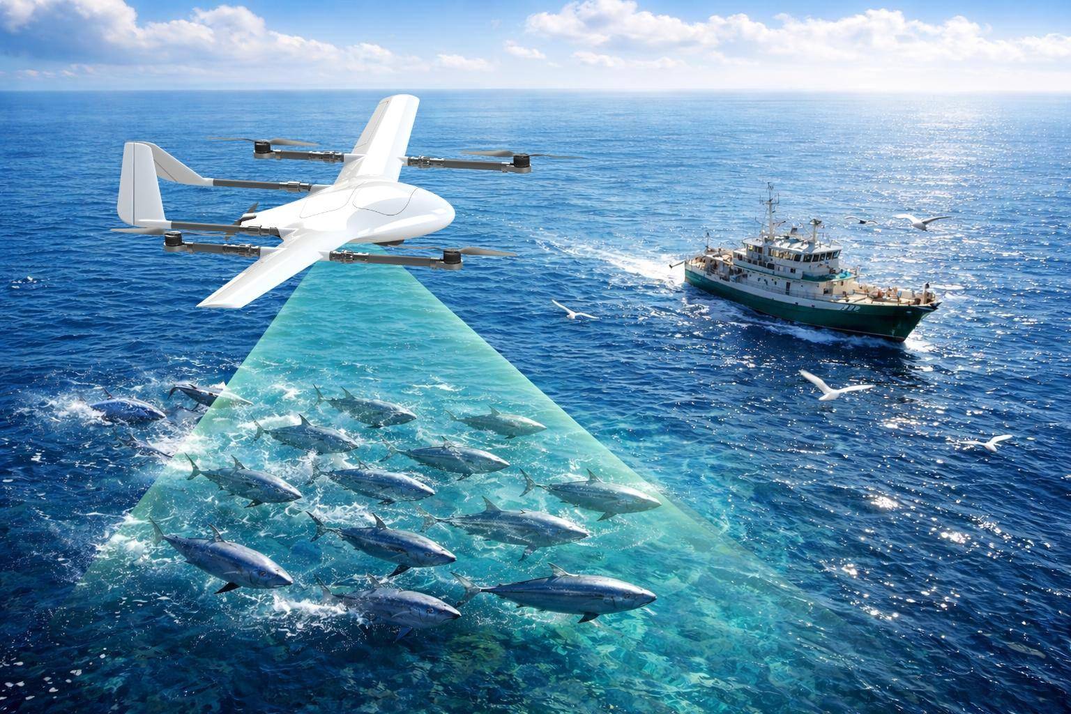
A New Tool for Smart Fishing   The modern fishing industry is rapidly adopting advanced technologies such as drones, artificial intelligence,...
Read More
Smaller Large Payload Compartent SMM
The Ultimate Survey Drone with a Large Payload...
Why Multi-Sensor UAVs Are the Future of Professional Drone Operations   Traditional drone systems often limit operators to one sensor...
Read More
Get in touch Get in touch Get in touch Get in touch Get in touch Get in touch Get in touch Get in touch Get in touch Get in touch Get in touch Get in touch Get in touch Get in touch Get in touch Get in touch Get in touch
If you're keen on enhancing your tactical operations

No matter if you're involved in drone mapping, surveying, or other geospatial pursuits, our solutions deliver unmatched performance, efficiency, and reliability.

Introducing the Inspiring Sky

The cutting-edge company at the forefront of designing and manufacturing the next generation of unmanned flying machines. Specializing in state-of-the-art Vertical Take-Off and Landing (VTOL) drones, our expertise caters specifically to the geospatial industry, including advanced drone mapping applications.

At Inspiring Sky, we redefine possibilities in aerial data acquisition. Our unmanned flying machines are engineered with precision and equipped with advanced features to meet the evolving needs of geospatial professionals.