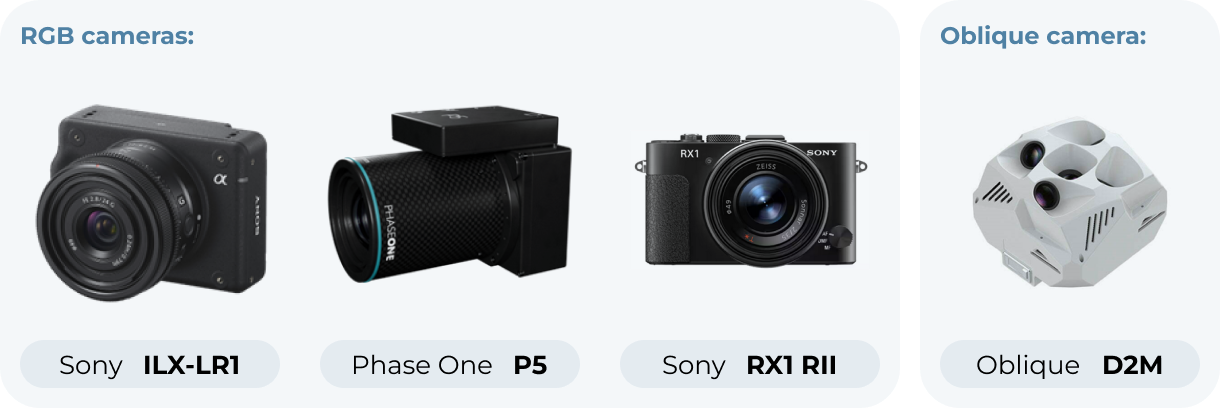
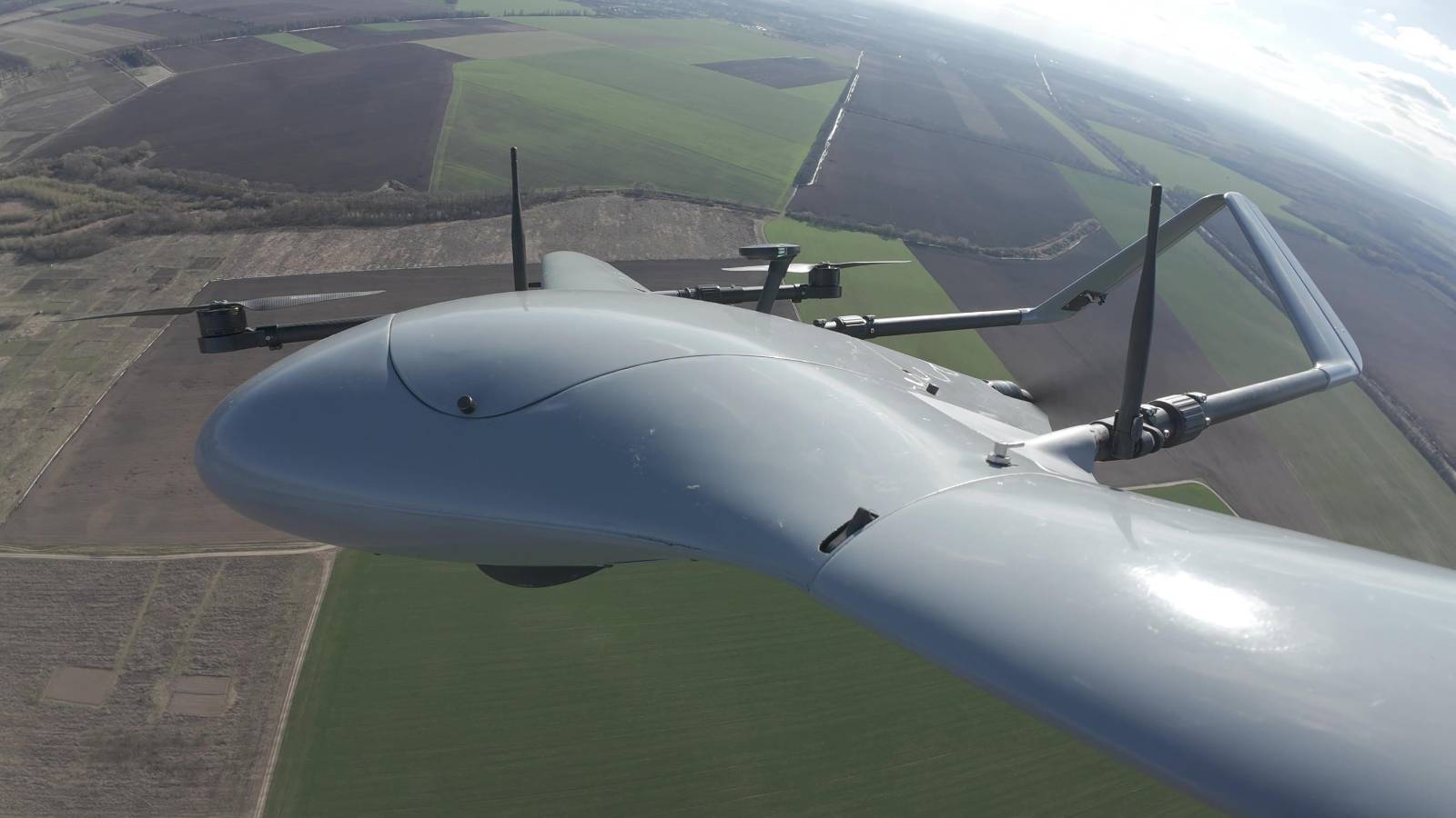
Made for efficient, long-distance flying, equipped geospatial ILX-LR1 camera and additional equipment for precision surveying or mapping missions.
* It can remain in the air for longer durations and carry out critical operations such as surveillance.
* It has a high-precision positioning system which is an inevitable requirement for aerial imagery. For direct georeferencing of aerial imagery, it is important to achieve a positional accuracy of 1-3 cm.
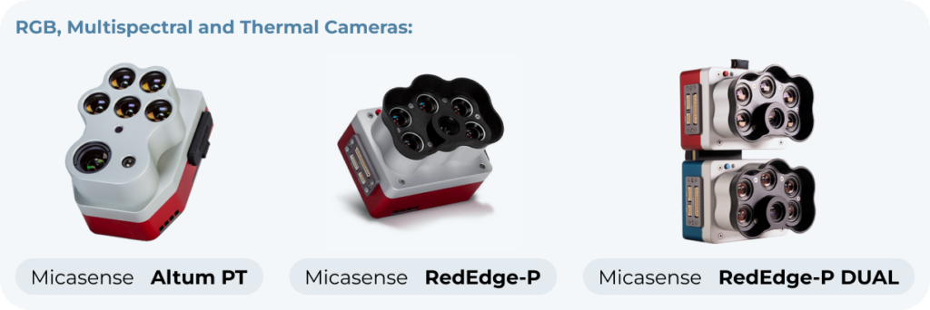
Replaceable payload can be installed interchangeable with other cameras and devices:


